
My story
F
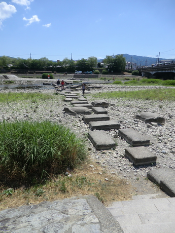


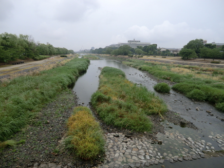
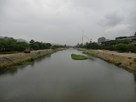
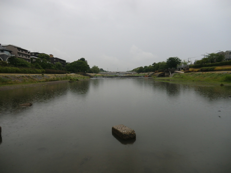
This is the tip of the bit between the two branches of the river.


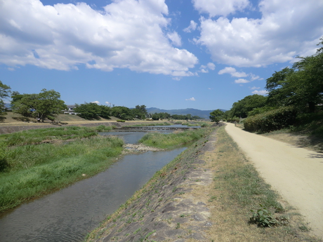


Path along the river near the botanical gardens.

Entrance to the botanical gardens.

Looking into the botanical garden.


Plant marker near the botanical gardens.

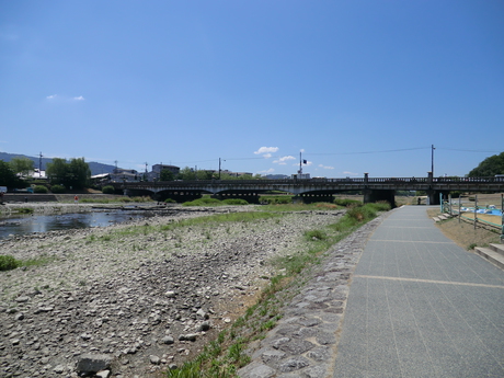
On to the west bank.
On to the east bank.

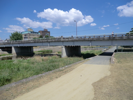
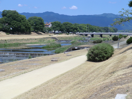
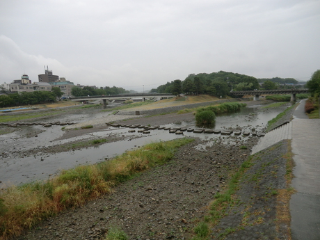
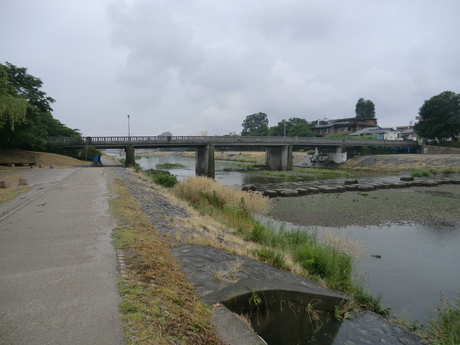
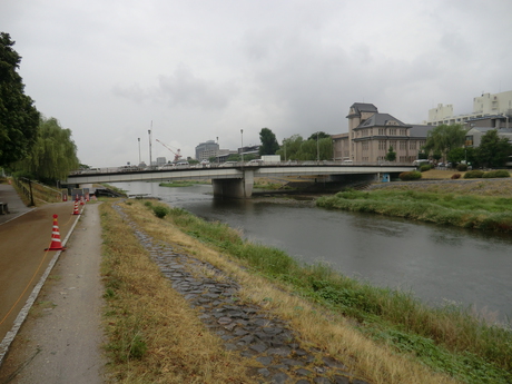
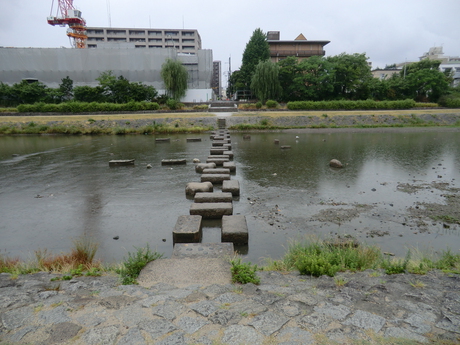
Down river.

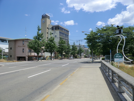
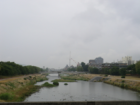
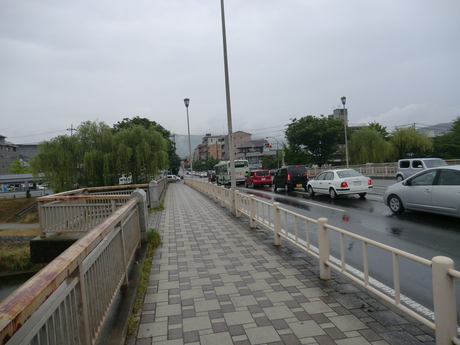
On the bridge of Kitayama-dori looking up river.


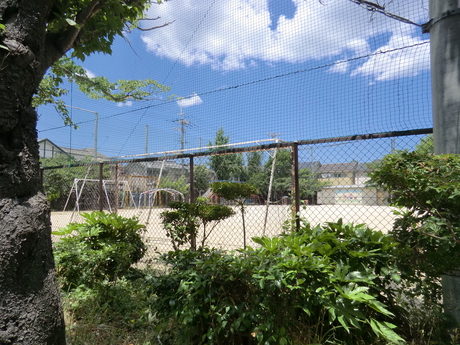
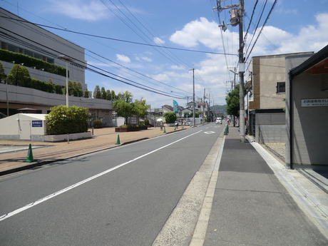
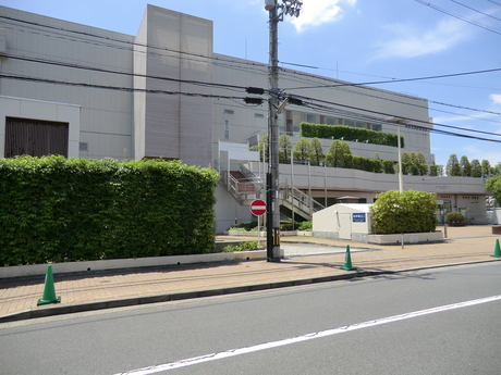
Motomachi elementary school.


Bus stop outside the school.


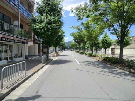
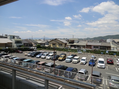
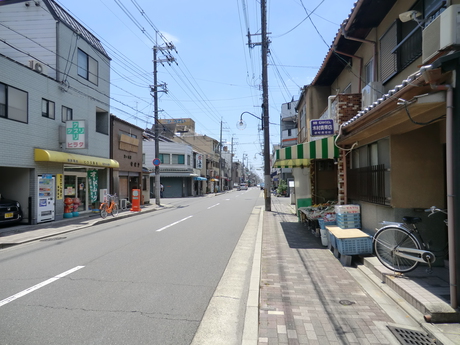
Station south of Koyamahananokicho.
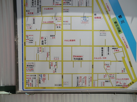


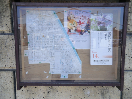
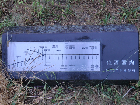
The next neighbourhood over toward the river from Hananoki-cho has this handy number map, but Hananoki-cho doesn't seem to have one.

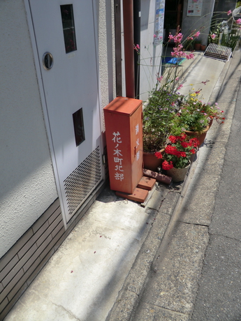
The name on the notice board.
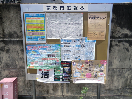
Notice board for Koyamahananoki-cho (the name is covered up at the bottom).
Map that shows the neighbourhood boundaries.

Closeup of the map.


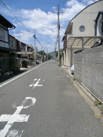


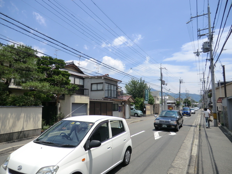
At the station looking toward no. 17.


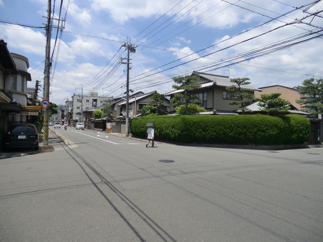
No. 17 Koyamahananoki-cho.

No. 17.

No. 17.

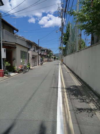
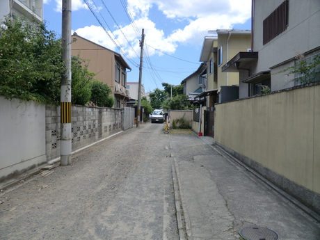
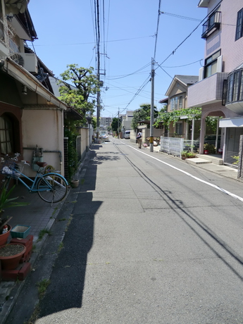
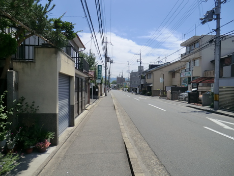
Near no. 17.

Near no. 17.
Near no. 17.
Near no. 17.

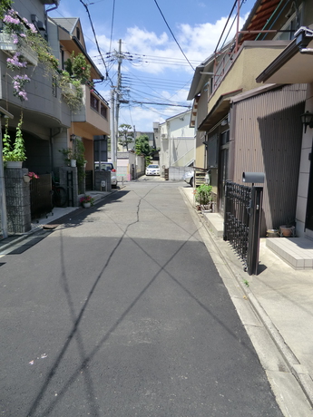
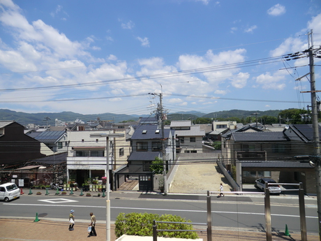
No. 17.

Near no. 17.

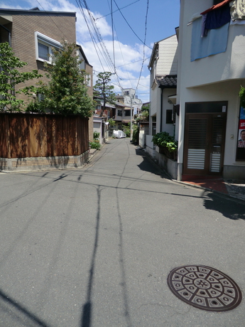
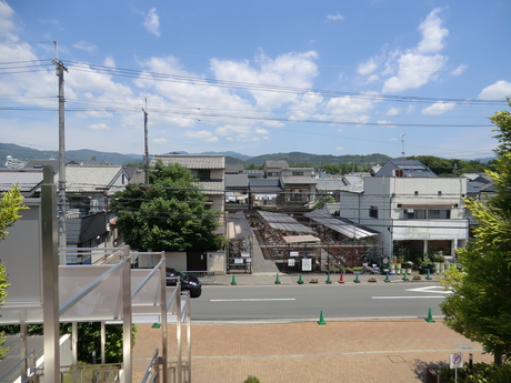
Near no. 17.

Near no. 17.


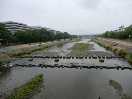


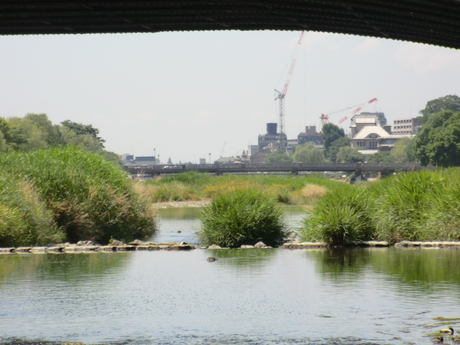
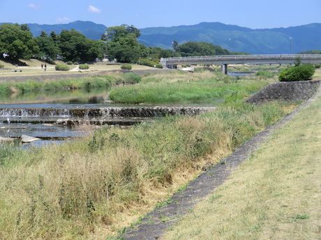
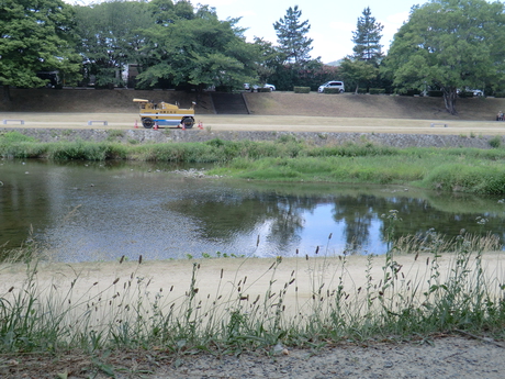
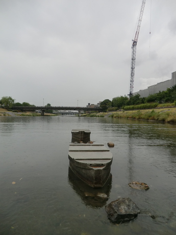
This ford has boats and some other construction, instead of turtles.

This is the other thing in the ford.


|


